OK, so here it comes... the excitement, the anxiety and the feeling of jealousy that can only occur when you know some of your friends are currently flying out to the American Midwest to chase storms as part of Tour 1 in the Netweather / Weather Holidays Storm Chase USA 2017. This suddent urge of excitement arises as it also reminds me that it'll be only 11 sleeps (yes, I am counting sleeps!) until I get on a plane and switch places with them on Tour 2.
This countdown has really forced me to get my preparation in order. My action camera has arrived and, although the quality is yet to be determined, it looks like it will be a useful addition to my kit. I had to buy a micro SDHC for it though, which I managed to pick up in Tesco for about £13 (although now searching for the link, I paid a lot more than if I had simply ordered online! - D'oh!). I also managed to get my dollars ready (also from Tesco) so I can pretty much now relax until the season starts... but that is not likely to happen.

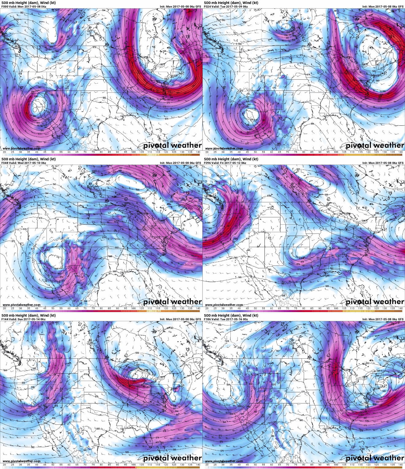
A GIF of the 06z on Monday 8th May 2017 GFS Upper Air Wind (Source: PivotalWeather.com)
I have also started looking at weather models. This is something that I have been meaning to do for the last year, but never managed to get around to it. Nothing is more frustrating than having chasing friends talk about the models and related terminology and not have a clue what they are on about. I have spent the day looking at weather models, learning about what they are and what they show, as well as seeing if I can work out what is going on. The above is a model of the upper stream jets as modelled by the GFS (Global Forecast System). From what I understand, the Tour 1 team will have quite an active start...so I am really getting excited about the photos and videos they will share. No doubt that Paul will maintain his blog - so I will be keeping my eyes on that over the next 10 days or so!

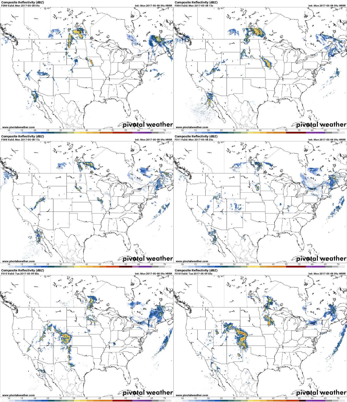
Compositite reflectivity mode of the HRRR model (Source: PivotalWeather.com)
I have also looked at the HRRR Model (the High Resolution Rapid Refresh Model) which produces hourly updates of high resolution data visualisations. With this, you can see the formation of discrete supercells (on the supercell composite mode), which really can pinpoint storms! I still have much to learn, but today has been a real turning point in the knowledge I have when it comes to preparing a chase.
I've also been toying with the idea of chasing off tour, as several friends of mine have already done so. It'd be a challenge I'd love to do...and only then I would be able to call myself a "real chaser". It's still in the early idea stages and, with Tour 2 fully booked next year, I feel it will be my only chance of getting some storm action in the USA in 2018... We shall wait and see!
To all those chasing - I hope you have an eventful time and score some wicked storms...but for me...I'm going to be suffering from storm deprivation syndrome until May 19th!

Make A Comment
Comments (0)